Toggle navigation
Home
Company
Showcase
Products
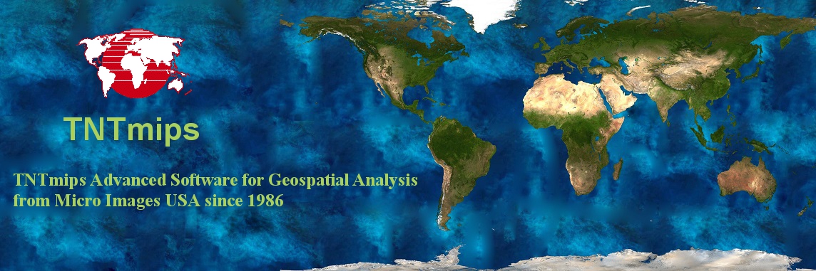
TNTmips
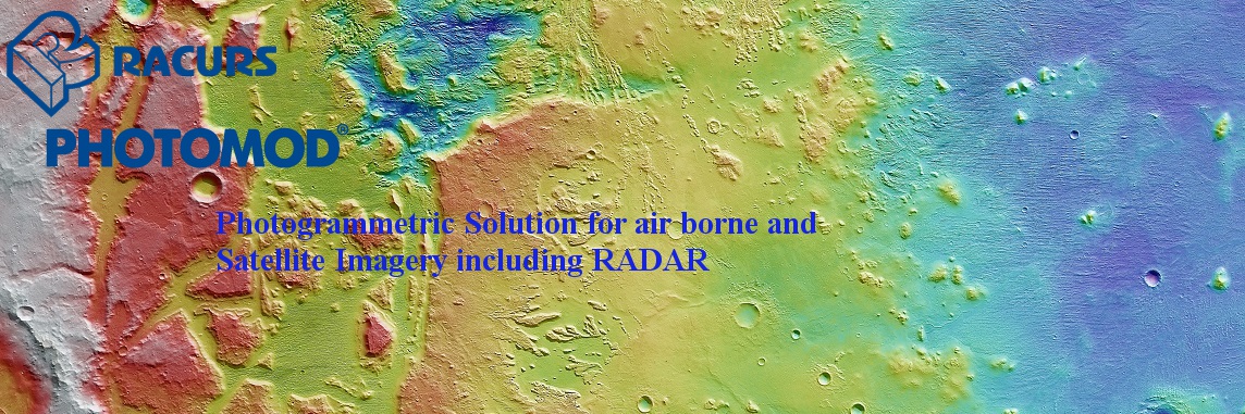
Photomod
GPS+TS
UAV
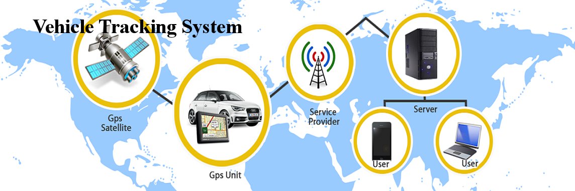
VTS
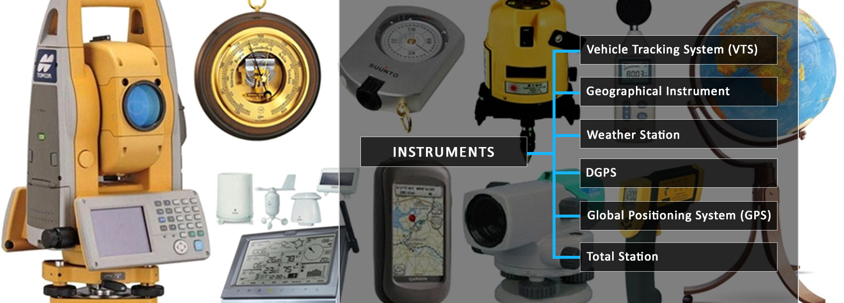
Instruments
Services
Mobile integrated GIS Application
Web GIS
Resistivity Survey
Rainwater Harvesting
Survey (GPS, DGPS, Total Station)
Solar Implementation
GIS & RS Projects
Municipal GIS
Drone Projects
Support
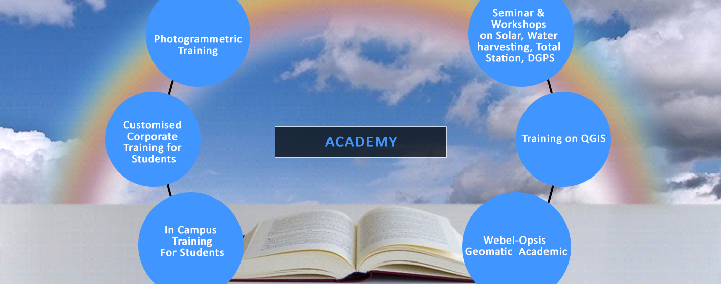
Academy
PG Diploma(Makaut, W.B)
Contact Us
Subreseller Required for each State in India. For enquiry contact at opsiset@yahoo.com
Previous
Next
OPSIS NEWS
Drone and Post Processing Workshop Ramkrishna Mission Siksha Mandir Date:10th April to 18th April, 2019
NEW
Drone and Post Processing - Adamas University Date: 27th March, 2019
NEW
Drone and Post Processing – East Kolkata Girl’s College. Date: 16th and 17th April, 2019
NEW
Health GIS Training Programme at IPHA Bhavan Kolkata Date:7th, 8th and 9th Dec, 2018
NEW
Geographical Survey Instruments Training Programme Date:8th and 9th Dec, 2018
NEW
Health GIS Training Programme at IPHA Bhavan Kolkata Date:21st, 22nd and 23rd Dec, 2018
NEW
Android Based Web GIS Application Developed for Bankura NRDMS & Hooghly DM office
Solution Developed for connecting android based mobile apps with TNTgis
Opsis is now authorised reseller of Racurs Russia for Photogrammetry product, Photomod
RESOURCE CENTER
ISO 9001:2015 Certificate
Feature List in Photomod
Feature list in TNTmips
Brochure of Opsis System Pvt. Ltd
Brochure of Photomod
Brochure of TNTmips
Brochure of Webel Opsis System
MAJOR CLIENT LIST
NATMO - West Bengal
NBSS&LUP ( HQ an 5 Centres) - Maharasthra
WB – Remote Sensing Centre – West Bengal
Orissa Remote Sensing Centre - Orissa
UP Space Application Centre - UP
NE Space Application Centre - Shillong
ONGC – Dehra Dun
Oil India Ltd - Assam
CIFRI – West Bengal
Central Road Research Institute – New Delhi
National Institute of Hydrology - Roorkee
National Geophysical Research Institute (NGRI) - Telegana
Indian Institute of Remote Sensing(IIRS) - DehraDun
PWD – West Bengal
Shere-e-Kashmir Agricultural University - Kashmir
Birsa Agricultural University - Jharkhand
Assam Agricultural University - Assam
IIT – Gandhinager
IIT – BHU
ISM – Civil, Environment,Geophysics - Jharkhand
Jadavpur University – West Bengal
Calcutta University
SidhoKanho University – West Bengal
Rajendra Agricultural University - Bihar
Vidyasagar University – West Bengal
Kalyani University – West Bengal
Presidency University – West Bengal
Lady Brabourne College – West Bengal
Visva-Bharati University – west Bengal
Irrigation Department West Bengal
SAIL – Kalta, Bursua - Orissa
NTPC - Bihar
Coal Videsh – West Bengal
Arid Forest Research Institute – Jodhpur
SFRI – Aruncahal Pradesh
PWD – Tripura
CRIDA – Andhra Pradesh
Kerala Spatial Data Infrastructure- Kerala
Agriculture University – Trissur
NRDMS – Bankura-West Bengal
NRDMS – Hooghly – West Bengal